 City of Davis Measure “A”
Shall Resolution 16-014 amending the Davis General Plan to change the land use designation for the Nishi property from Agriculture to University-Related Research Park, as set forth in the Resolution and establishing the Baseline Project Features for development of the Nishi Project be approved?
_________________________________________________________________
CITY OF DAVIS
CITY ATTORNEY’S IMPARTIAL ANALYSIS OF MEASURE A
If approved by a majority of the voters voting, Measure A would approve Resolution 16-014 amending the Davis General Plan to change the land-use designation for the Nishi Property from Agriculture to a modified University-Related Research Park designation and establishing “Baseline Project Features” for the Nishi Property to govern project development.
Davis voters approved “Measure J” in 2000 and “Measure R” in 2010. Measures J/R require voter approval of any amendment to the Davis General Plan that changes the land use designation of property from agricultural or open space to urban land uses. Measures J/R also require voter approval of baseline project features that cannot be changed without voter approval. (Davis Municipal Code, Chapter 41).
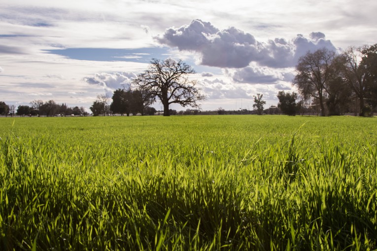
The Nishi Property is approximately 47 acres located adjacent to the current city boundary west of Olive Drive, between Interstate 80 and the UPRR Railroad tracks and UC Davis.
The Nishi Property Baseline Project Features, General Plan map, and General Plan text amendments are set forth in Resolution 16-014 in full. The Baseline Project Features include, but are not limited to:
- Development in accordance with the General Plan Amendment. The land-use mix includes high-density residential, research and development (R&D), accessory retail, drainage, parks, and open space uses.
- The Project cannot exceed 650 multifamily units with a minimum density of 60 units/acre (440 rental and 210 for sale units); 325,000 square feet of R&D uses, a maximum of 20,000 square feet of accessory retail located within the residential or R&D buildings; and a minimum of 14 acres of parks and greenways.
- Construction of Project infrastructure and buildings may not start until both the grade separated vehicular connection to UC Davis and the reconfiguration of the Richards Boulevard interchange are under construction.
- Certificates of Occupancy will not be issued for any building until the UC Davis vehicular connection, the road connection to West Olive Drive, and the Interchange improvements have been completed.
- No more than 1,732 off-street surface and structured parking spaces.
- A tree buffer between buildings and I-80.
- All buildings LEED certified at the silver level or higher.
- The Project will pursue LEED Neighborhood Design with a commitment of attaining gold level based upon approval of prerequisites by the US Green Building Council.
- Compliance with the Sustainability Commitments in the Development Agreement including 4.9 megawatts of photovoltaic electricity and a limitation of peak hour vehicle trips to limit impacts on Richards Boulevard.
- The Project will contribute $1,000,000 to the City for affordable housing and $200,000 for community enhancement programs for civic arts, carbon off-sets and downtown parking.
- A land-secured financing taxing district for public services will be established that will generate between $300,000 to $630,000 per year at buildout, with inflation adjustments, and the Project is responsible for the costs of infrastructure, subject to any grants obtained and allowable City fee credits.
- Agricultural mitigation as required by City Code.
Resolution 16-014 was adopted and approved for placement on the ballot as Measure A by the
Davis City Council on February 16, 2016.
/S/
Harriet A. Steiner
Davis City Attorney
 City of Davis Measure “A”